LIVE GPS TRACKING
Traccar
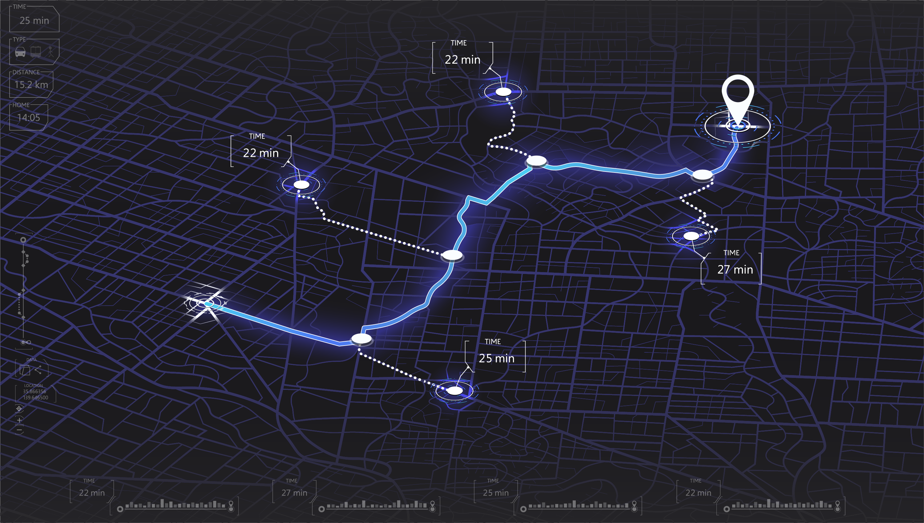
View live location data for smartphones and other GPS-enabled devices without delay with Traccar.
Zero Delay
Traccar provides live location data without delay, enabling rapid response to unfolding events.
Behavior Tracking
Administrators can create automated geofences and custom alerts based on location and movement behavior.
Visual Reports
Traccar allows users to export visualized location history, trip, chart, and summary reports.
Granular Access
User and device access, attributes, and permissions are determined on an individual basis, and devices can be assigned to registered users and grouped for more efficient administration.
Track Phones, Vehicles, and Other GPS-enabled Devices in Real Time
Traccar is an open source software integrated within Fognigma that provides live GPS location data without delay using multiple mapping option, including road maps and satellite imagery. It’s compatible with smartphones and a wide variety of protocols and GPS-enabled devices, including vehicles. Administrators can designate geofences and automate alerts based on movement behavior, display location history data, export reports, and more.

TRACCAR IN ACTION
Scenario
An organization must operate in highly contested territory and needs to keep close tabs on operator locations, movement patterns, and geographic behavior at all times to ensure users are not compromised and are
traversing the region in accordance with the mission. Given the circumstances, they must have real-time GPS data and be able to view and manage phones, vehicles, and other devices from a single location.
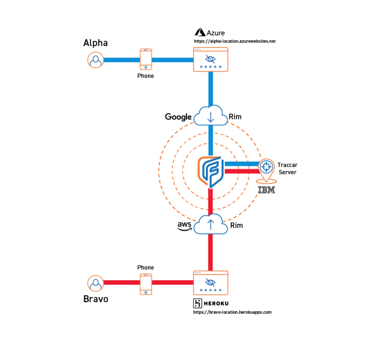
From the Fognigma interface, the administrator deploys a Traccar server in a Fognigma mission network, along with a unique Portal Proxy for each user to enter in their device to connect them to the server.
Users in the field download the Traccar client on their devices and enter their Portal Proxies to connect their devices to the server.
As the users navigate the mission area, the administrator monitors their locations and movement behaviors, using geofences and custom alerts to ensure the mission is successful.

